Terrain delivers intelligence and engineering for agricultural land so producers, renewable energy developers, utilities, and specialty crop growers can understand field performance, reduce risk, and invest with confidence.
From field performance to agricultural projects, we turn complex land and water challenges into clear, actionable plans with our customers’ best interests in mind.
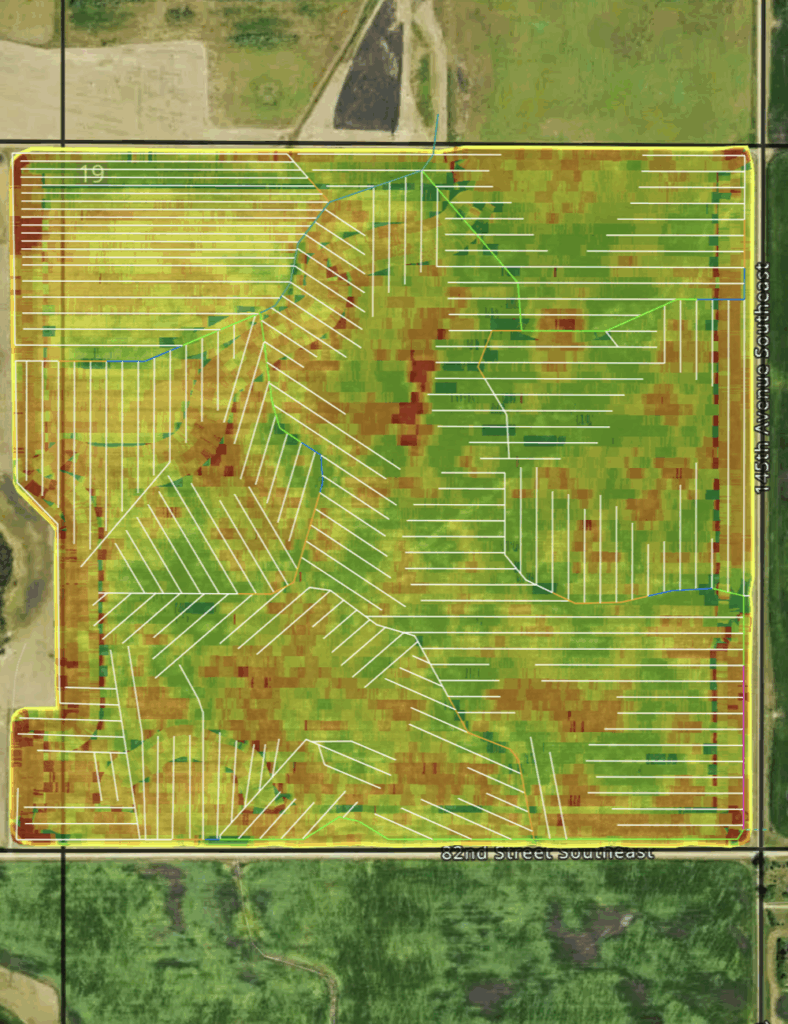
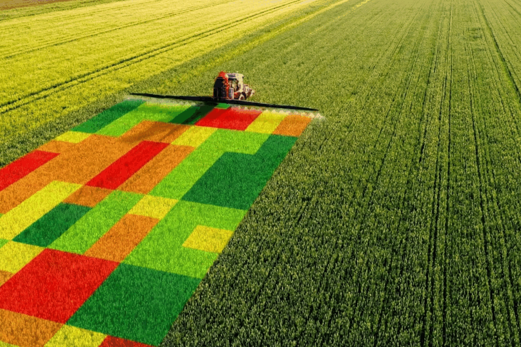
TerrainIQ brings together land, water, and performance data into one clear view, so you can understand what’s happening across every acre.
Identify underperforming areas, uncover hidden patterns, and make smarter decisions based on how your land actually performs.
Terrain provides specialized engineering and consulting for agricultural land and rural projects, including drainage design, water management planning, and agricultural mitigation.
From early analysis to final design, we help you reduce risk, avoid costly mistakes, and move forward with confidence.
Most land decisions are made with incomplete information.
Water movement, soil conditions, elevation, and performance data are rarely connected — leading to missed opportunities, unnecessary risk, and costly mistakes.
Terrain changes that.
By combining land data, water intelligence, and engineering expertise, we give you a clear understanding of what’s happening — above and below the surface — so you can make better decisions with confidence.
When you bring together land, water, and performance data, a clearer picture emerges.
Terrain connects:
Then applies engineering expertise to turn that insight into real-world action.
So instead of relying on assumptions or isolated data, you can make decisions based on how your land actually works.
Visualize yield, soil, and water performance in one dashboard to make smarter decisions.
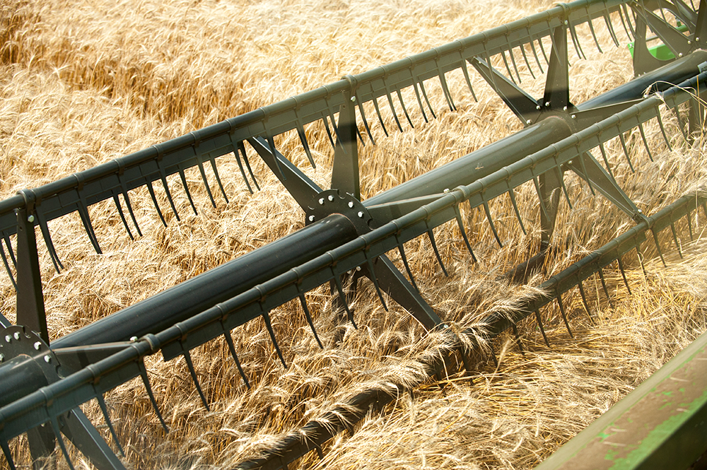
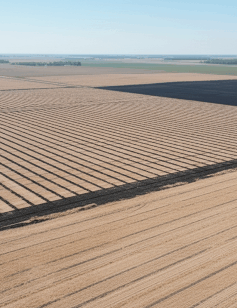
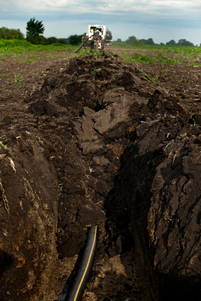
Terrain delivers precision tile drainage design and engineering solutions based on real-world conditions, not assumptions.
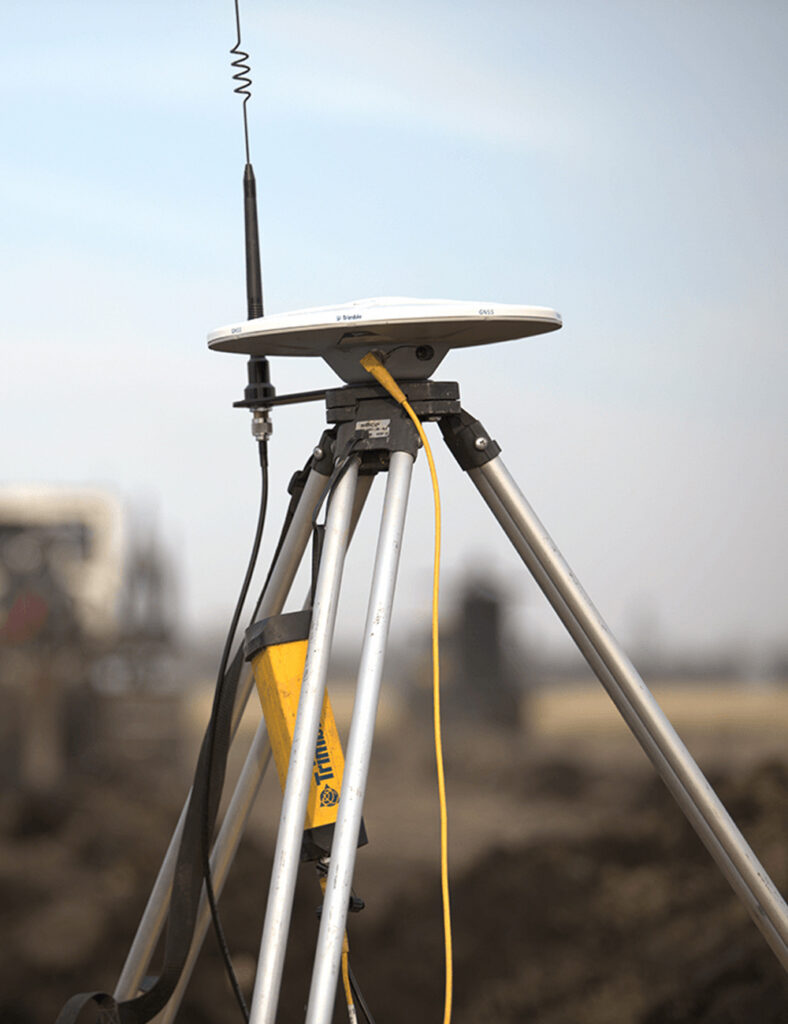
From mapping and data collection to field validation, Terrain ensures your decisions are grounded in reality.
From individual landowners to large-scale projects, Terrain supports customers who need clarity to make better decisions about land and water.
Our team has designed and analyzed drainage systems across the U.S. and Canada, helping improve performance, reduce risk, and guide smarter investments.
Growers, landowners, renewable developers, utilities, and project teams rely on Terrain to understand land performance and reduce uncertainty.
Because when water is understood, better decisions follow.
TerrainIQ brings clarity to farmland decision-making that hasn’t been easily accessible before. I believe it will become a staple tool in the industry.
Most decisions about land and water are based on incomplete information.
Terrain helps you move beyond guesswork by giving you a clear understanding of what’s happening across your land — and what to do next.
Access your land and visualize performance across fields or projects.
Layer in yield data, tile maps, and other key inputs to unlock deeper insights.
Use Terrain’s insights and engineering expertise to plan improvements, reduce risk, and maximize results.
Most tools show you data. Terrain helps you understand it.
Built by engineers and land experts, Terrain combines real-world experience with advanced data analysis to give you a complete picture of your land.
So whether you’re improving field performance, planning a project, or managing risk, you can make decisions that actually pay off.
Serving Thousands of Growers with Precision Water Management Solutions Daily.