
TerrainIQ Land: Streamline Your Rural Property Evaluation
One Click for Comprehensive Land Reports
Evaluating rural land usually means 4-6 hours of mundane data pulling from multiple sources.
FSA maps. Soil reports. Plat maps. Topography. Wetlands. Screenshots. PDFs.
TerrainIQ Land brings everything into one place, so you can evaluate a property and generate a clean, branded report in minutes, not hours.
Whether you are preparing a listing, evaluating a deal, or validating a loan, TerrainIQ helps you move faster and make better decisions with less guesswork.
Replace 4–6 Tools with One Platform
- Jump between multiple platforms
- Manually collect maps and reports
- Take screenshots and stitch PDFs together
- Spend hours building one report
- Risk missing key insights
Time Spent: 4-6 hours
- One interactive map with every data layer
- Instant parcel, soil, drainage, and topo insights
- Generate a branded report in minutes
- Walk into conversations prepared
Time Spent: 3-5 minutes
Built for Land Decisions
Real Estate Agents
Close deals faster
Land Investors
Reduce risk
Lenders
Validate decisions
One Map. Every Layer That Matters.
Parcel & Ownership Data
FSA maps, plat maps, parcel boundaries, and ownership details are unified into one clean interface.
Draw, merge, and adjust field boundaries to reflect how land is actually used.
Includes:
- FSA, plat, and parcel data
- Owner name and CLU toggles
- Custom boundary tools
- Accurate acreage calculations

Land Data Layers
- High-resolution imagery
- Soil types and exportable soil horizons
- Drainage classifications
- TerrainIQ Tile Drainage Index (TDI)
- Topography and elevation contours
- National wetland data
Water Data
Understand how rain and water movement affect a property, both historically and in real time.
Rainfall Analysis
- 5-year rainfall reports tied to planting and harvest windows
- Rainfall accumulation maps for each parcel
- Identify patterns that impact yield, timing, and field accessibility
Tile Map Visualization
- Overlay tile infrastructure with soil, drainage, and land characteristics
- Visualize how water moves through the field
- Plan improvements with clearer context and confidence

Identify Opportunity with Tile ROI Insights
For many properties, the real value isn’t just what the land is today. It’s what it could become.
TerrainIQ Land helps you quickly evaluate where tile drainage improvements could increase productivity and land value.
This gives land investors and agents a clearer picture of a property’s true potential before making a move.
Create Reports Your Clients Actually Understand
Branded PDF Reports Include:
- Custom field boundaries
- Parcel and ownership data
- Soil, drainage, topo, and wetlands layers
- Visual overlays that highlight patterns
- Key notes and property insights
Use them for:
- Listings
- Investor presentations
- Buyer and seller presentations
- Loan evaluations & lender conversations
- Property comparisons

From Map to Report in Minutes
Stop assembling reports manually.
With TerrainIQ, everything is already connected. You simply select your layers, adjust your view, and export a polished report that reflects your brand.
No screenshots. No formatting. No wasted time.
Capture Insights in the Field
Use GPS location services and field notes to document what you see while walking a property.
Mark access points, wet areas, hazards, and opportunities. Drop pins, add notes, and keep everything tied to the map so it carries directly into your reports.
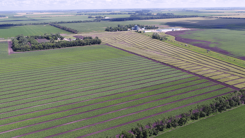
TerrainIQ Land Features Overview
Best for rural real estate agents, land investors, lenders, and anyone who needs to evaluate and present land quickly.
- Maps with custom boundaries
- FSA map
- Plat map
- Topography
- Soil with exportable horizon data
- Drainage classifications
- Web and mobile access
- Rainfall analysis and waterflow data
- National wetland data
- High-resolution imagery
- Tile map storage
- Multi-layer visual data overlays
- Tile ROI calculator
- Historical county yield data
- Parcel and CLU data
- Field notes
- GPS location service
- Branded PDF packet
- Tile engineering and design service*
Stop Building Reports the Hard Way
Key Differences
The difference isn’t just features. It’s what you’re trying to do.
- Parcel + Map Data
- Soil, Drainage, Topo
- Rainfall Insights
- Branded Reports
- Tile ROI (Basic)
- Yield Data
- Performance Analysis
- Portfolio Insights
$
50
Per Month
$
500
Per year
Unlimited Acres
- Parcel + Map Data
- Soil, Drainage, Topo
- Rainfall Insights
- Branded Reports
- Yield Data
- Performance Analysis
- Tile ROI (Basic)
- Portfolio Insights